Log in
All resources
Create a design
40,209 Free Images of Engraved Maps
atlas of the russian empire (1800)
gerard valck
bibliothèque municipale de reims
maps made in the 17th century
rès. g 153
1889 maps
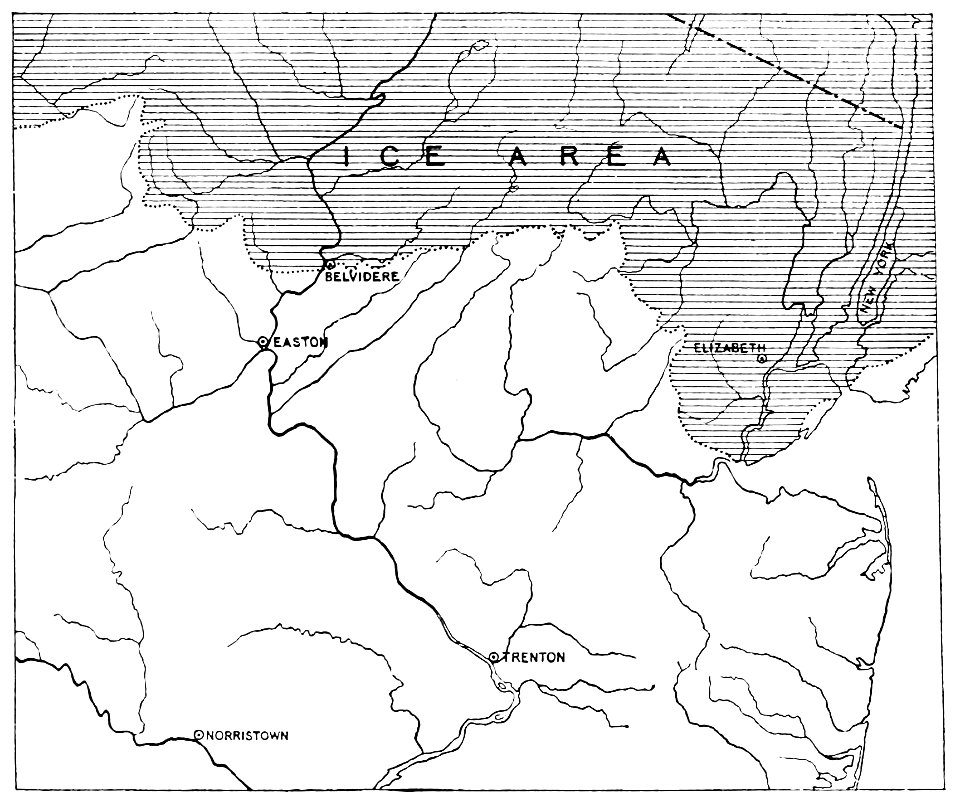
quaternary geology
popular science monthly illustrations/volume 34
geographical illustrations by coronelli
charts and maps of the royal museums greenwich
schauplatz der fünf theile der welt
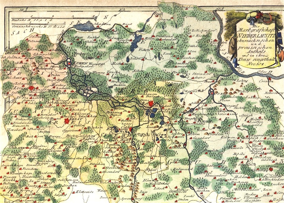
old maps of lusatia
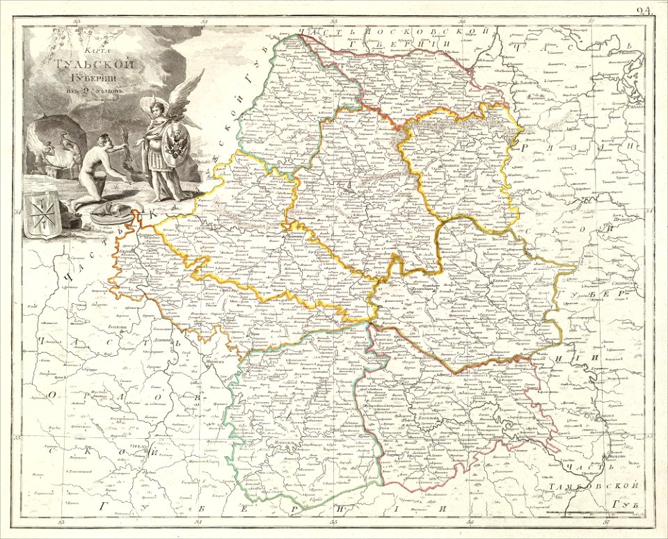
atlas of the russian empire (1800)
maps of tula governorate
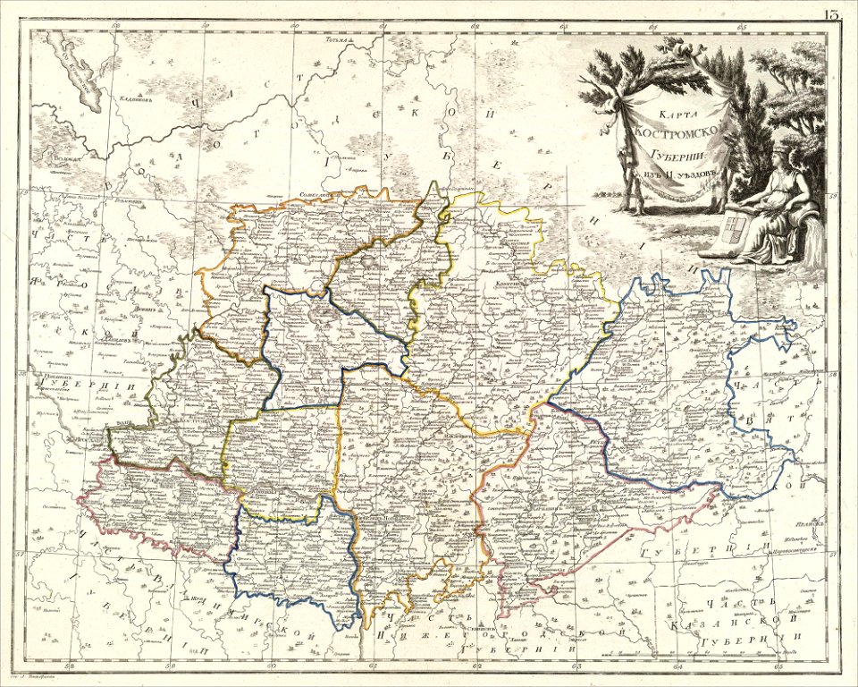
atlas of the russian empire (1800)
maps of kostroma governorate
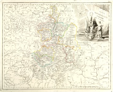
atlas of the russian empire (1800)
maps of voronezh governorate
cosmographia (1600) by sebastian münster
maps of salins-les-bains
bibliothèque municipale de reims
rès. g 153
quaternary geology
1889 maps
quaternary geology
1889 maps
quaternary geology
1889 maps
quaternary geology
1889 maps
popular science monthly illustrations/volume 31
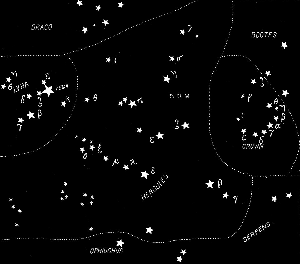
english-language constellation maps
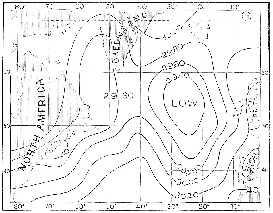
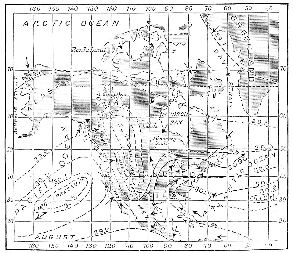
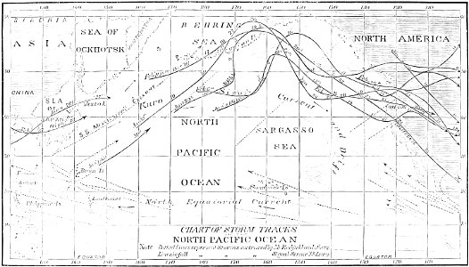
atmospheric circulation
1880 maps
atmospheric circulation
1880 maps
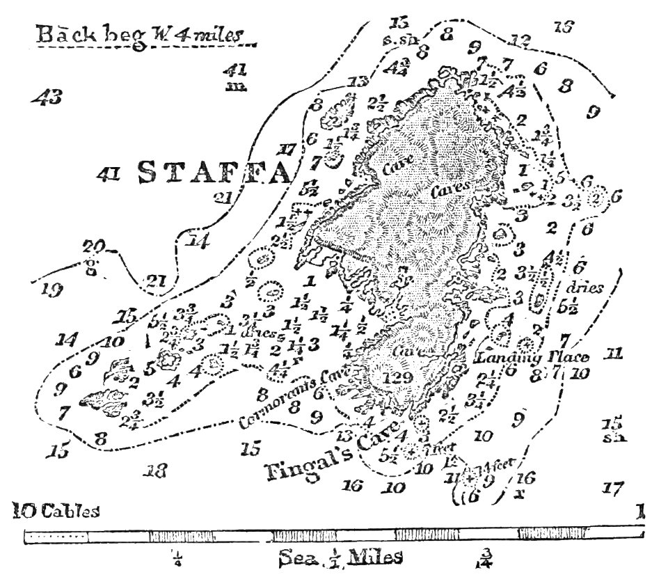
fingal's cave
1883 maps
atmospheric circulation
1880 maps
hells gate
1886 maps
popular science monthly illustrations/volume 4
old maps of mars
maps by homannsche erben
johann baptist homann
prints from the peace palace library
old maps of flanders
new york public library manuscripts
17th-century maps of saxony
romeyn de hooghe
gerard valck
engravings of topographia bohemiae moraviae et silesiae
maps of świdnica
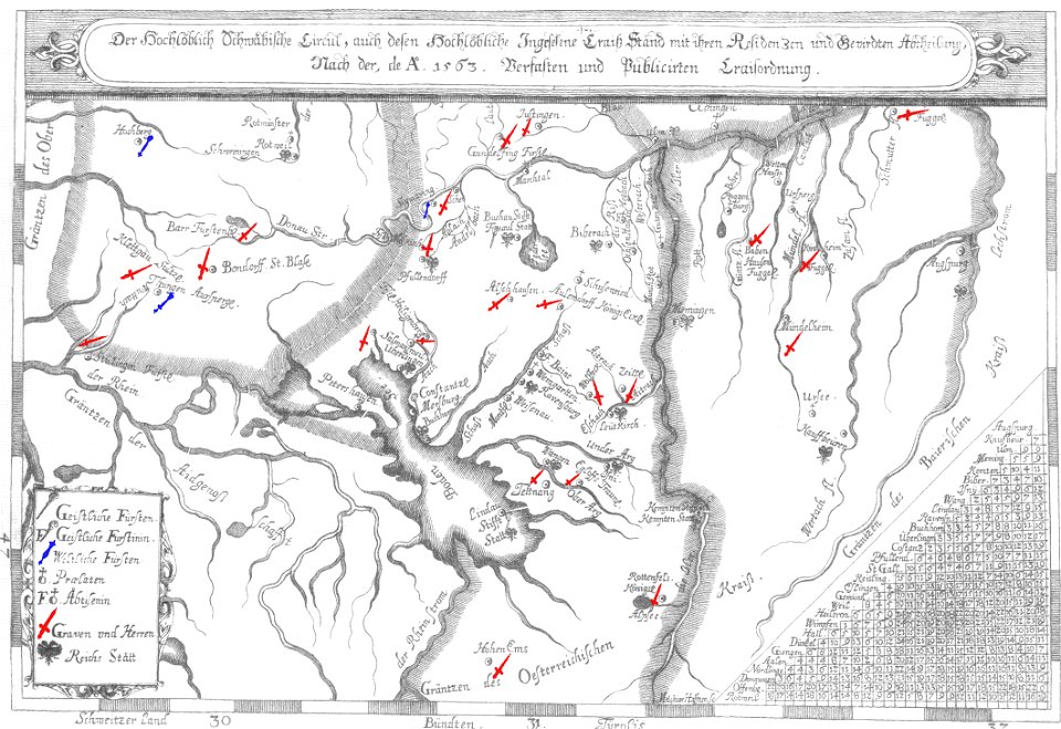
old maps of lake constance
nobility of swabia
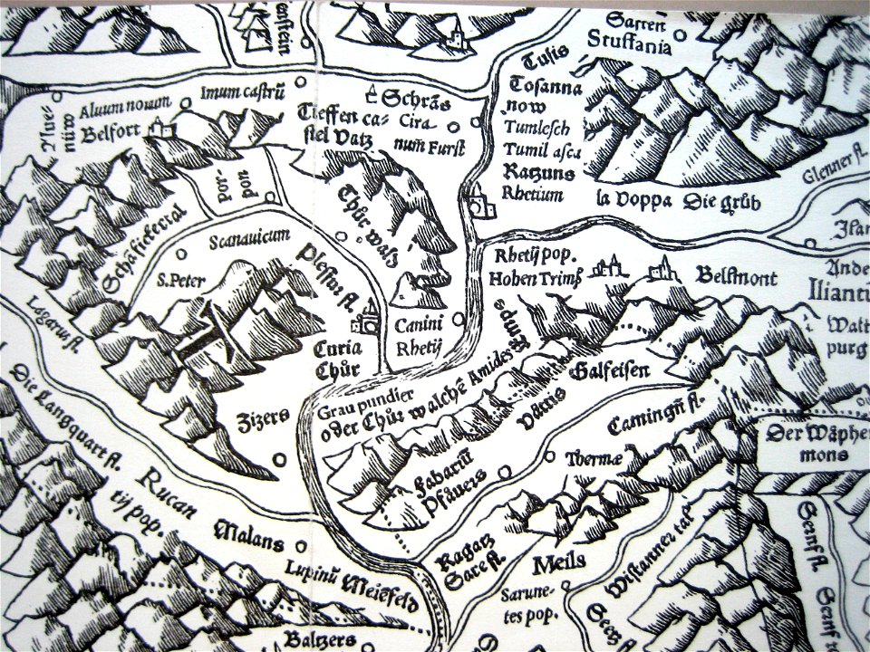
historical images of chur
old maps of switzerland
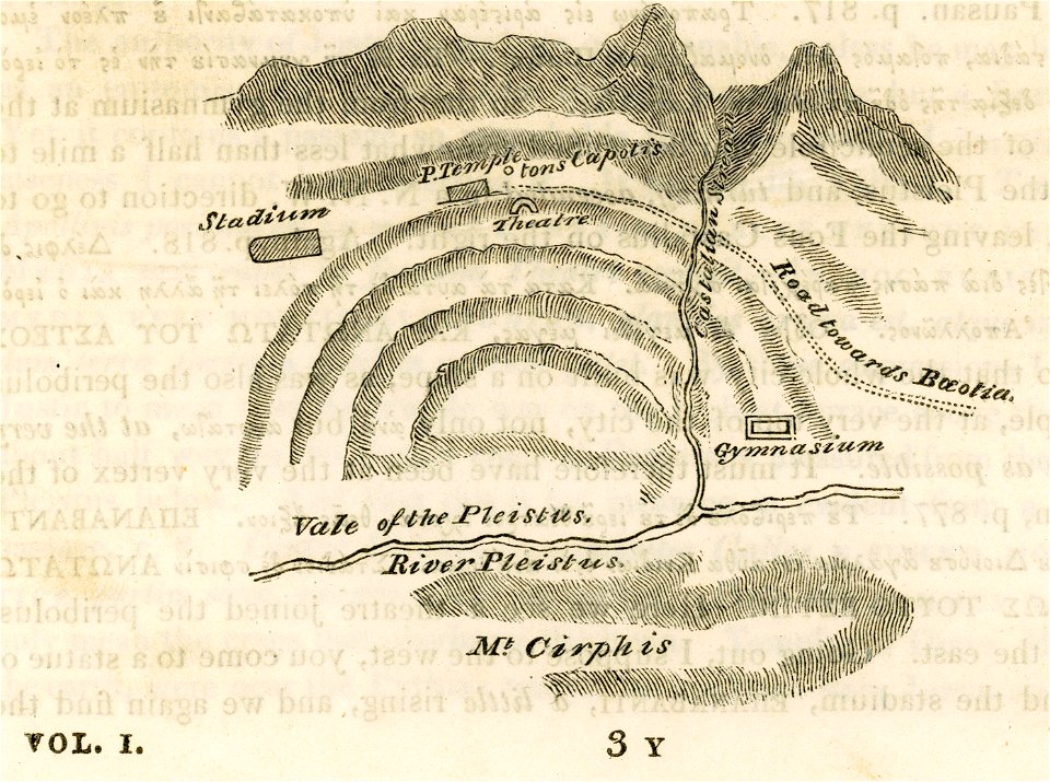
travels in sicily greece and albania
maps of ancient delphi
atlas of the russian empire (1800)
maps of ryazan governorate
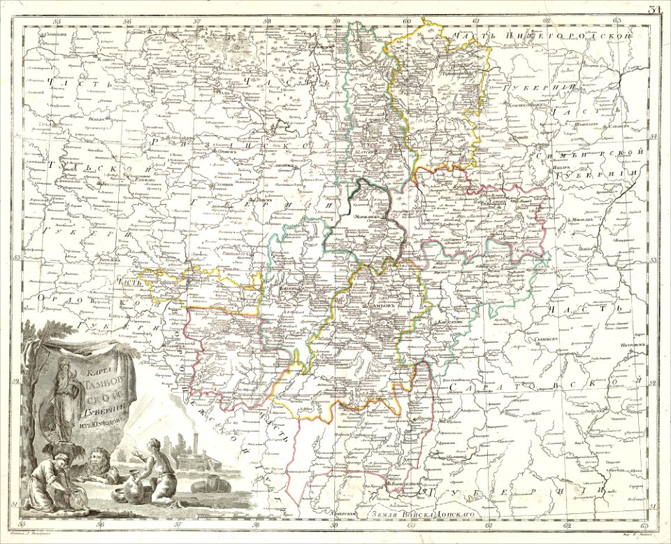
atlas of the russian empire (1800)
maps of tambov governorate
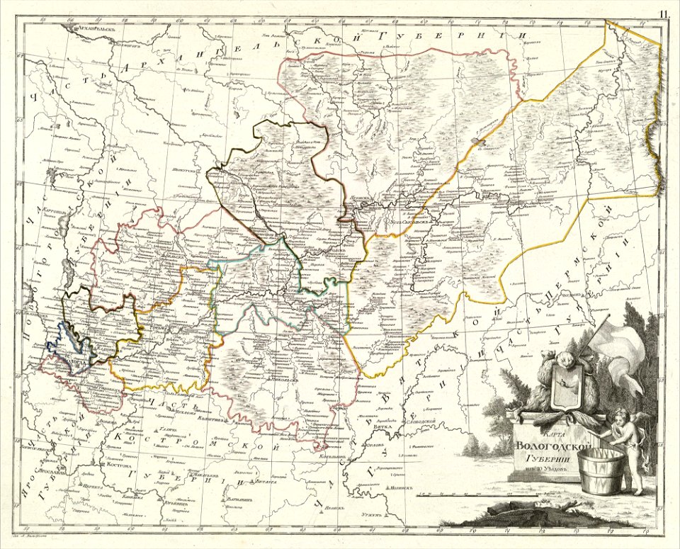
atlas of the russian empire (1800)
maps of vologda governorate
atlas of the russian empire (1800)
maps of kazan governorate
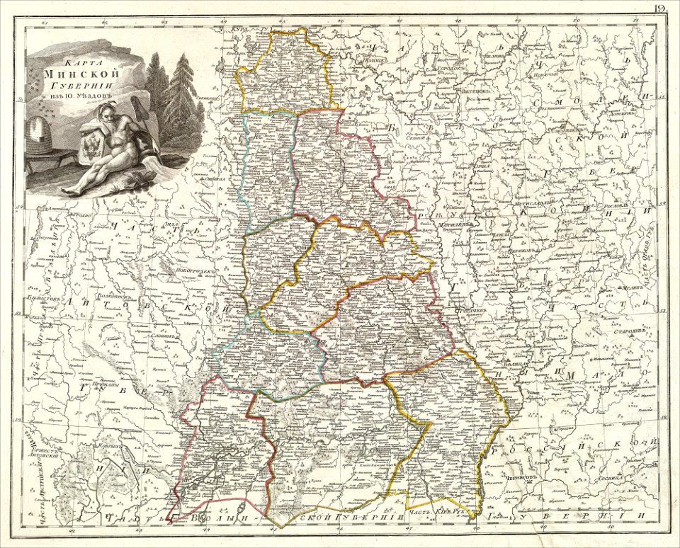
atlas of the russian empire (1800)
maps of minsk governorate
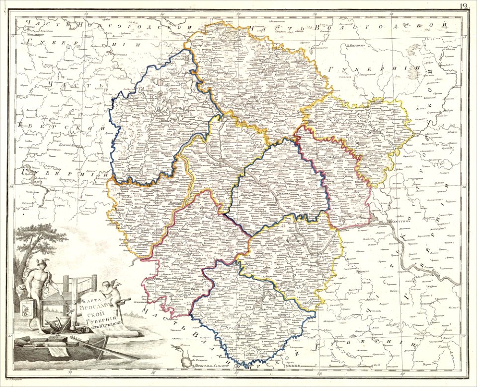
atlas of the russian empire (1800)
maps of yaroslavl governorate
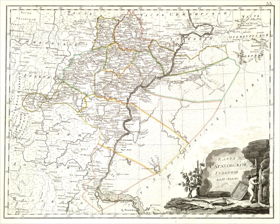
atlas of the russian empire (1800)
maps of saratov governorate
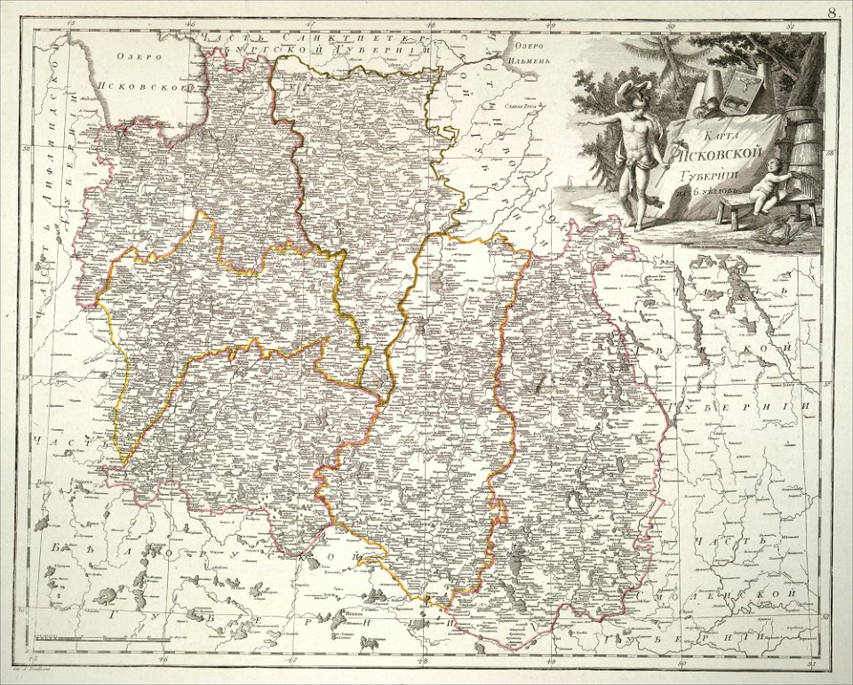
atlas of the russian empire (1800)
maps of pskov governorate
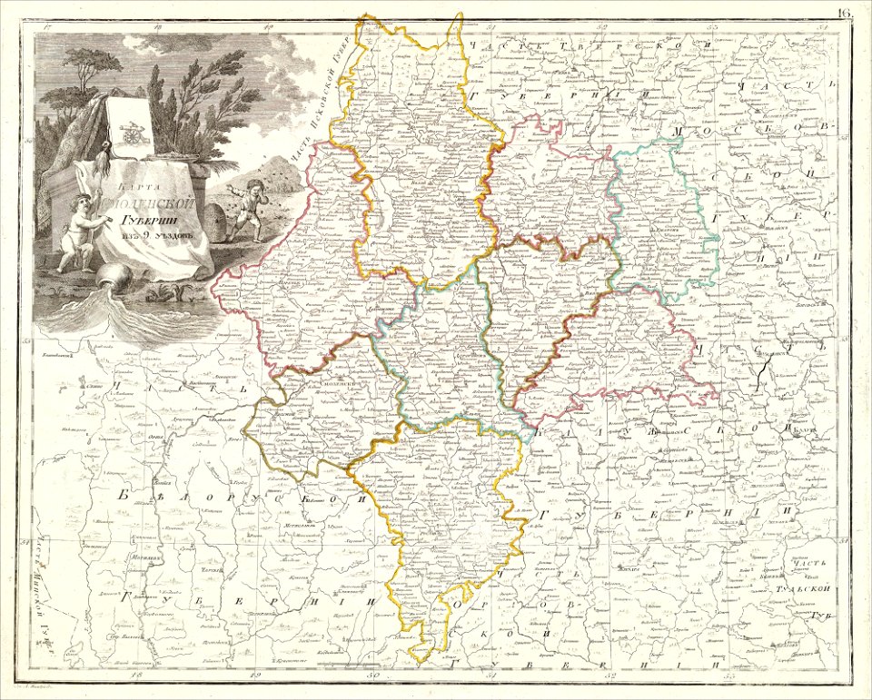
atlas of the russian empire (1800)
maps of smolensk governorate
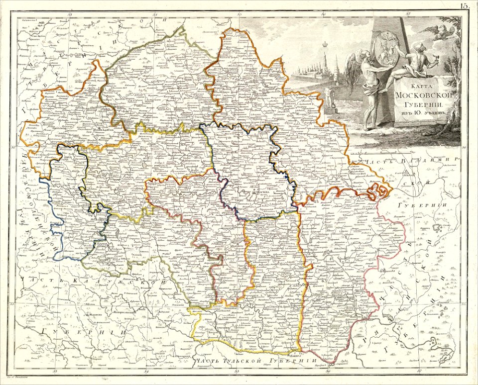
atlas of the russian empire (1800)
maps of moscow governorate
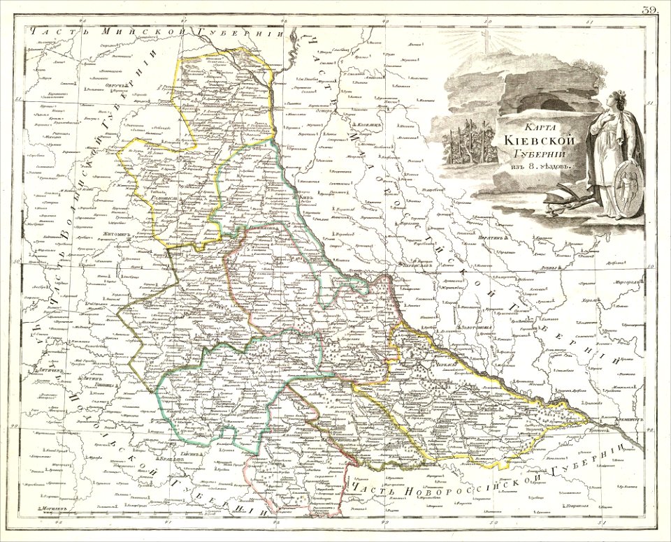
atlas of the russian empire (1800)
maps of kiev governorate
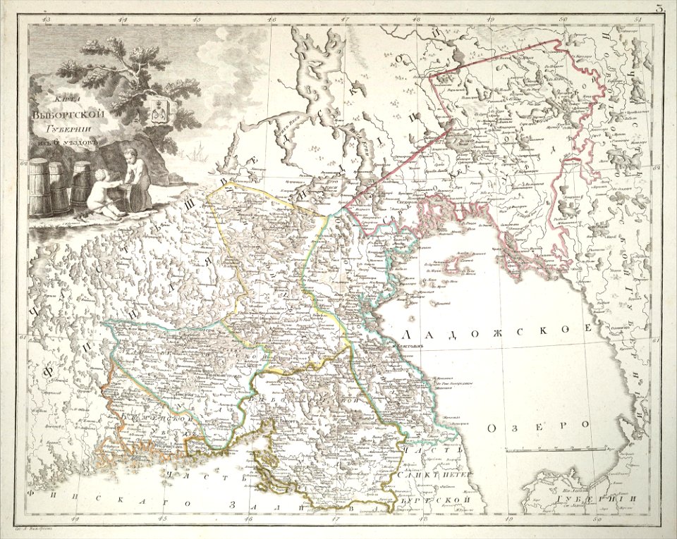
atlas of the russian empire (1800)
maps of wyborg governorate
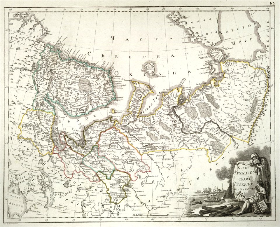
atlas of the russian empire (1800)
maps of arkhangelsk governorate
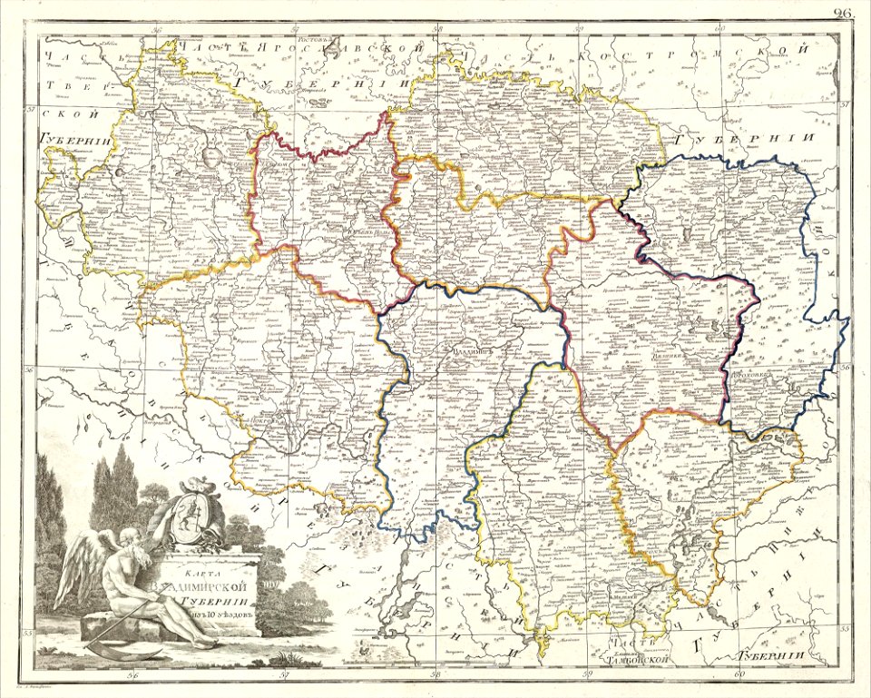
atlas of the russian empire (1800)
maps of vladimir governorate
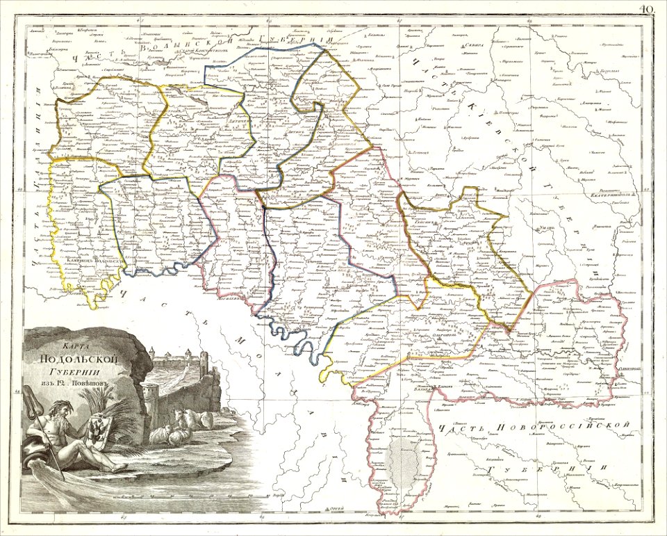
atlas of the russian empire (1800)
maps of podolia governorate
atlas of the russian empire (1800)
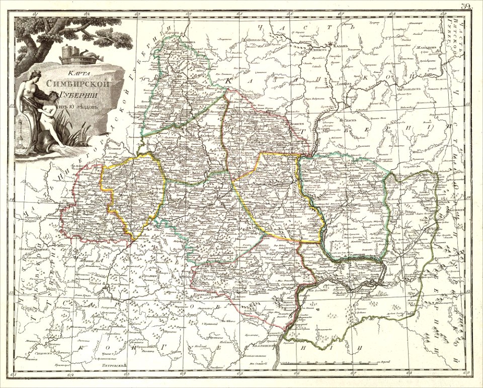
maps of simbirsk governorate
atlas of the russian empire (1800)
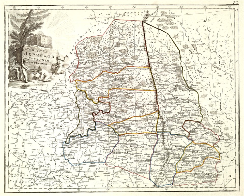
maps of perm governorate
romeyn de hooghe
gerard valck
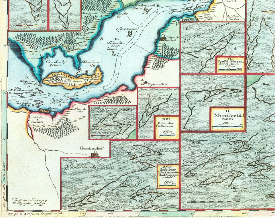
schlei
arni
old maps of dutch brazil
johannes vingboons
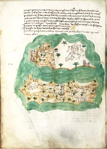
liber insularum archipelagi (royal museums greenwich)
maps of kea (cyclades)
maps of stockholm county
tyresö slott
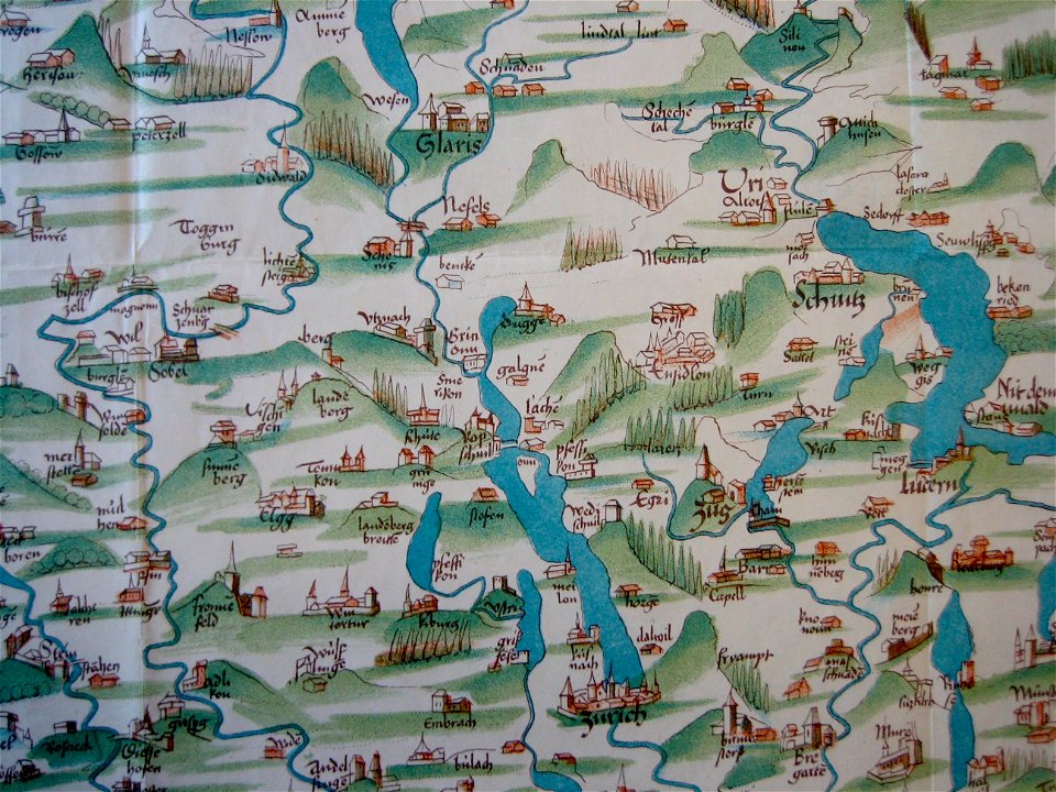
old maps of the canton of zürich
cartography of switzerland
königstraße (berlin-wannsee)
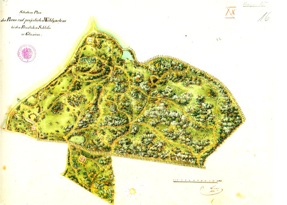
park klein-glienicke
geographical illustrations by coronelli
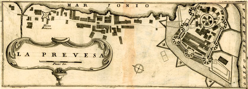
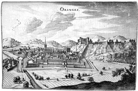
maps of preveza
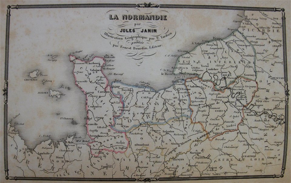
la normandie (jules janin)
alfred johannot
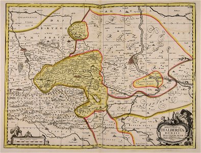
1751 maps of rhineland-palatinate
neuwied in the 18th century
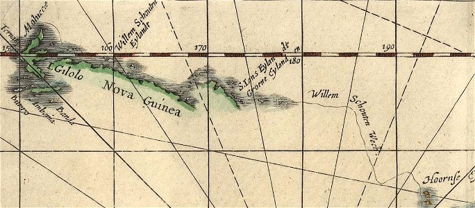
willem schouten
jacob le maire
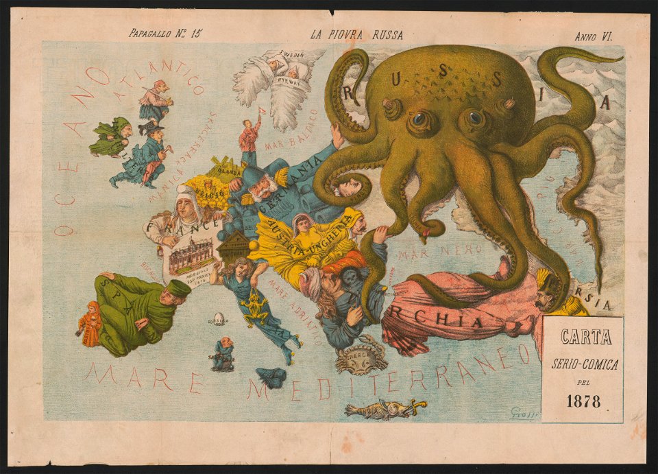
19th-century satirical maps
europe in the 1870s
geographical illustrations by coronelli
engravings of parga
antiparos
paros
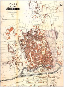
niedersächsisches landesarchiv
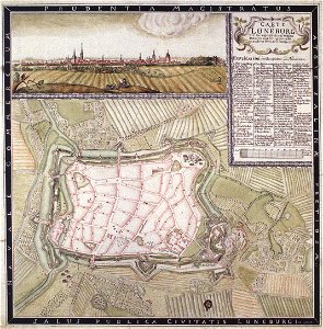
historical maps of lüneburg
historical maps of lüneburg
lüneburg in the 1730s
niedersächsisches landesarchiv
historical maps of lüneburg
maps by gerardus mercator
orion in art
bibliothèque municipale de reims
rès. g 153
charts and maps of the royal museums greenwich
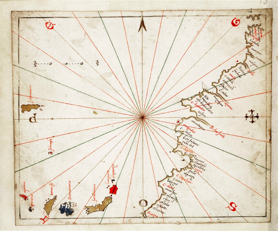
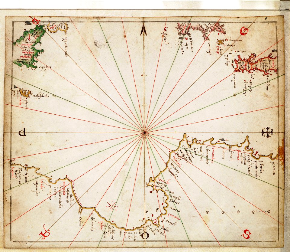
joan martines
geographical illustrations by coronelli
old maps of the peloponnese
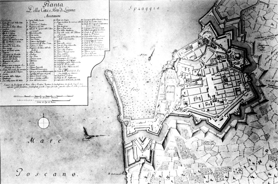
old maps of livorno
walls of livorno
geographical illustrations by coronelli
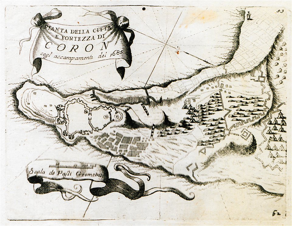
koroni
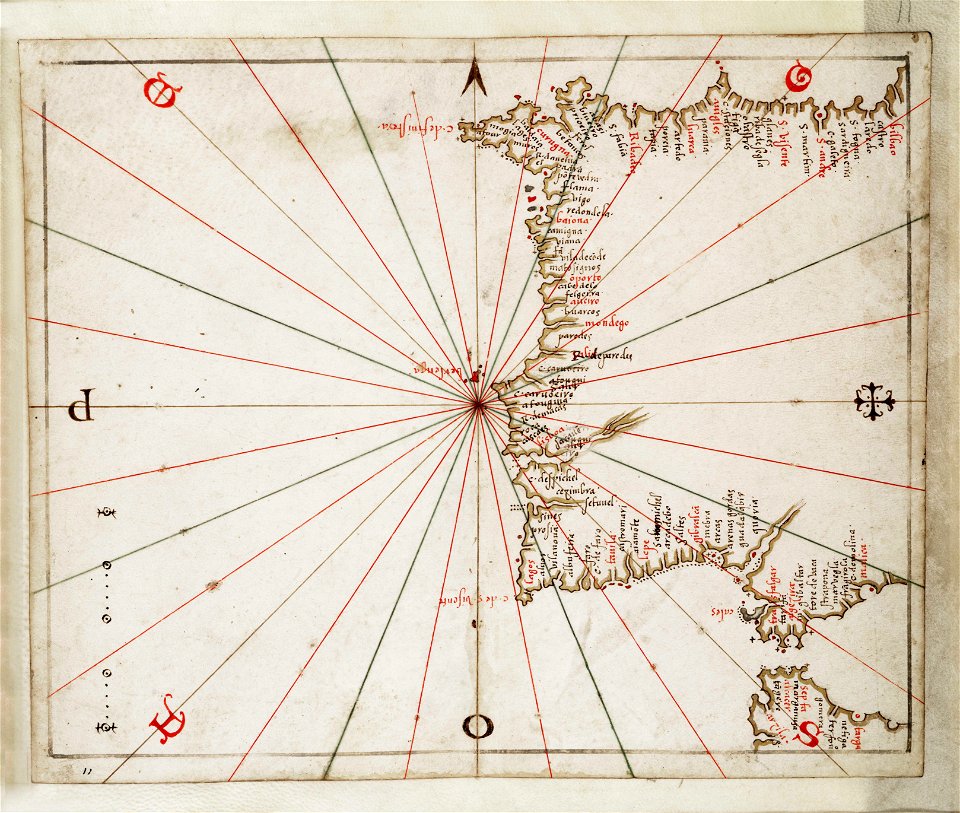
charts and maps of the royal museums greenwich
joan martines
bibliothèque municipale de reims
rès. g 153
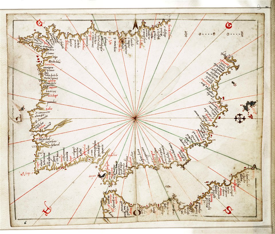
charts and maps of the royal museums greenwich
joan martines
charts and maps of the royal museums greenwich
joan martines
old maps of stockholm by georg biurman
ulvsunda slott - park
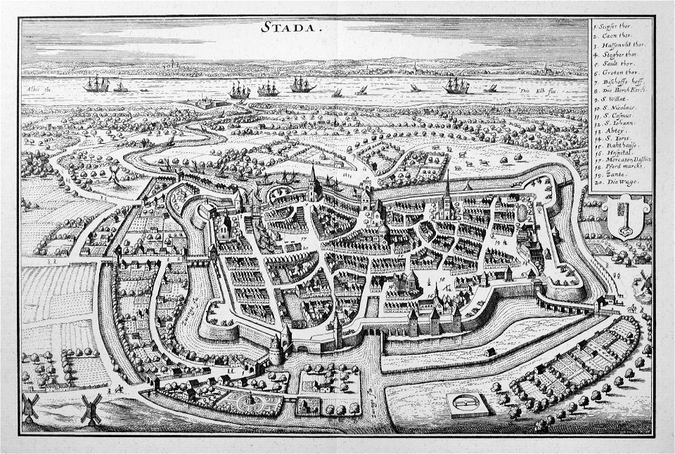
engravings of topographia saxoniae inferioris
stadtbefestigung stade
bibliothèque municipale de reims
rès. g 152
1909 la ilustración española y americana
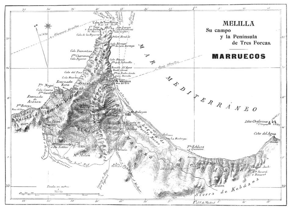
old maps of melilla
maps of liège in the 17th century
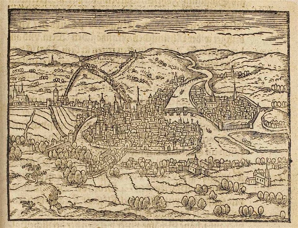
theatrum urbium (1610)
bibliothèque municipale de reims
rès. g 153
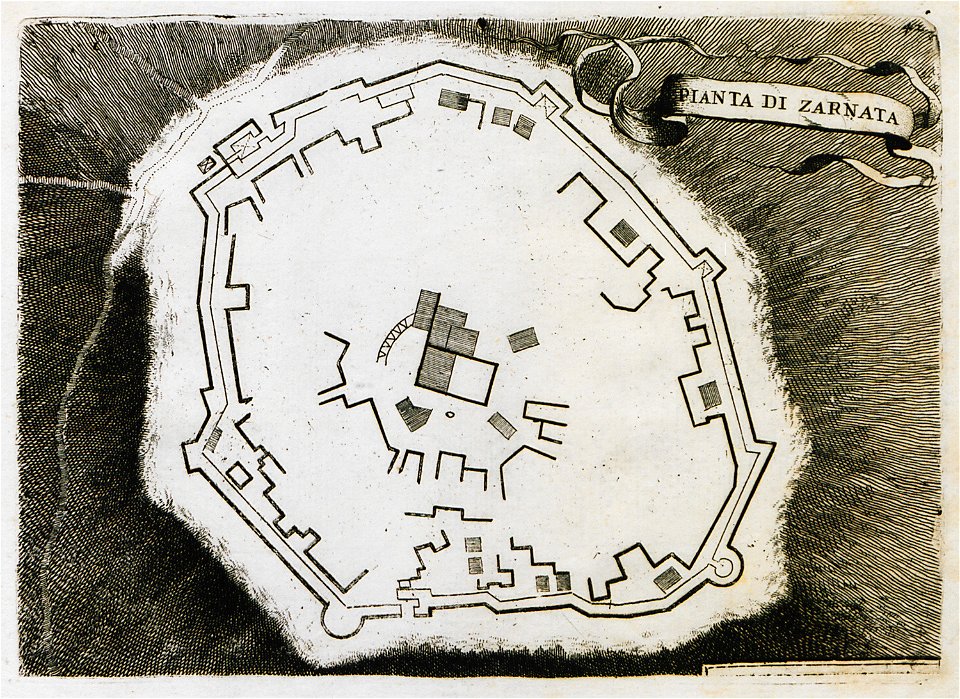
il devotissimo viaggio di gerusalemme fatto
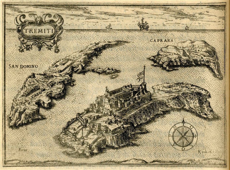
maps of isole tremiti
17th-century maps of schleswig-holstein
tönning
bibliothèque municipale de reims
rès. g 152
bibliothèque municipale de reims
rès. g 152
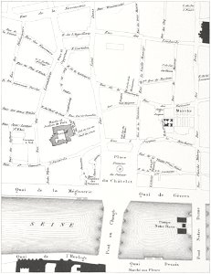
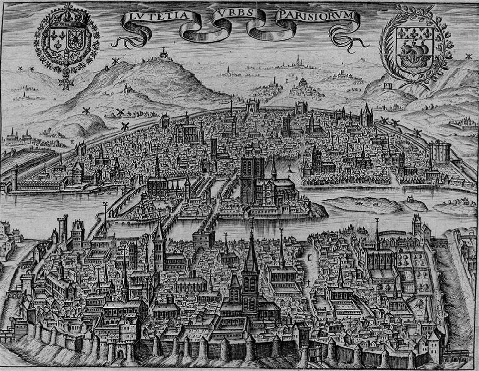
floor plans of paris
engravings of paris
volume 7 of le tour du monde
maps of nimrud
old maps of livorno
walls of livorno
maps by gerardus mercator
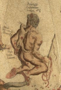
auriga in art
atlante veneto (raremaps.com) volume 2
17th-century maps of hispaniola
engraved maps
baroque
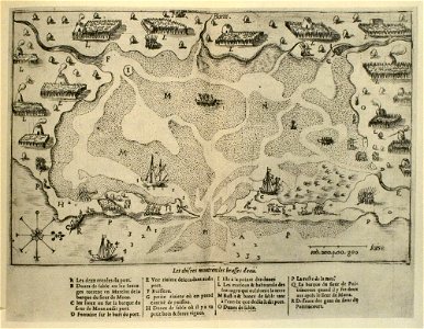
massachusetts
eastham
historical images of pont au change
lithographs of paris
paris in the 17th century
claude chastillon
maps made in the 17th century
gerard valck
battles and leaders of the civil war (1887)
battle of ball's bluff
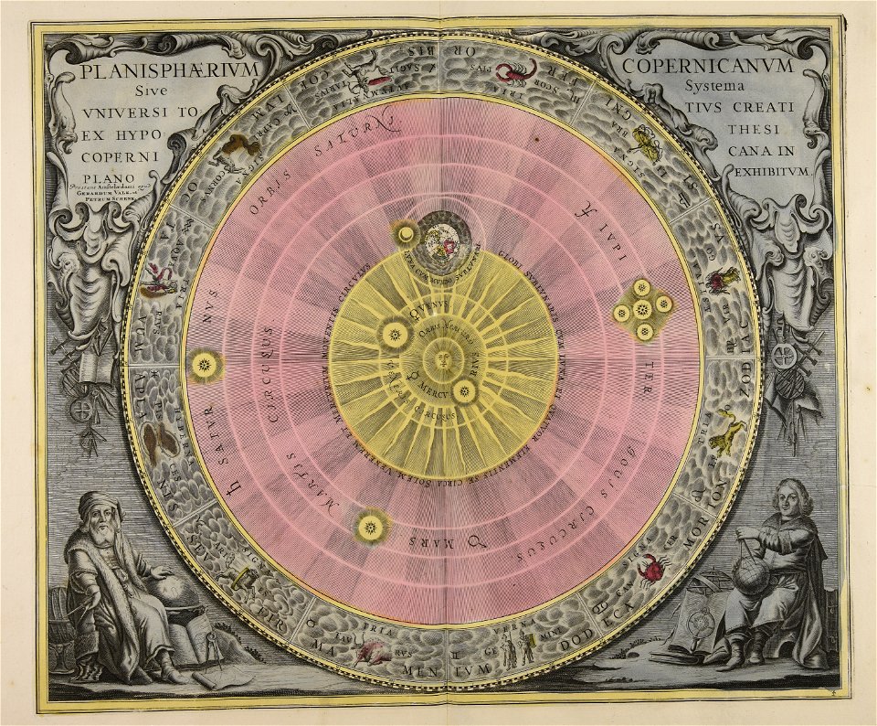
maps made in the 17th century
gerard valck
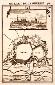
city walls of arras
history of arras
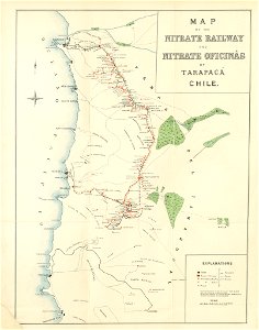
maps from the mechanical curator collection
saltpeter works of chile
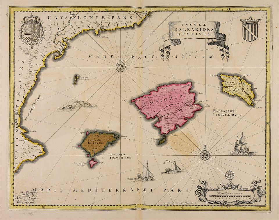
maps made in the 17th century
gerard valck
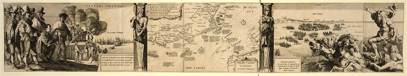
cornelis danckerts (i)
battle of the downs
maps made in the 18th century
gerard valck
maps made in the 18th century
gerard valck
maps made in the 17th century
gerard valck
maps made in the 18th century
gerard valck
maps by willem and johannes blaeu
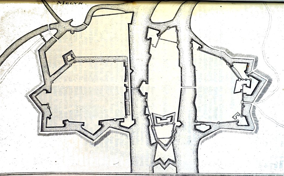
old maps of groenlo
9101 - 9200 of 40,209
Next page
/ 403